Trail Map
The official Big Basin Redwoods State Park map is the park infosheet published by California State Parks, which marks the roads and trails reopened since the 2020 fire. Download it from the official park page before you go, because the park has no cell service, or pick up a free paper map at the entrance kiosk. Almost every open route starts at the main day-use parking lot.
Map Essentials
Where to Get the Map
- Online: the "Park Infosheet (PDF)" link on the official Big Basin page. The 2026 edition shows open trails and closures.
- At the park: free park maps at the entrance kiosk.
- On your phone: save the PDF before leaving home. California State Parks reports no cell service near the kiosk and no electricity in the park.
The agency updates the map as trails reopen, so use the current edition rather than an older pre-fire map. Many pre-fire maps still online show trails and camps that are closed today.
How the Open Trail Network Fits Together
The main parking lot, in the former headquarters area, is the hub. From it:
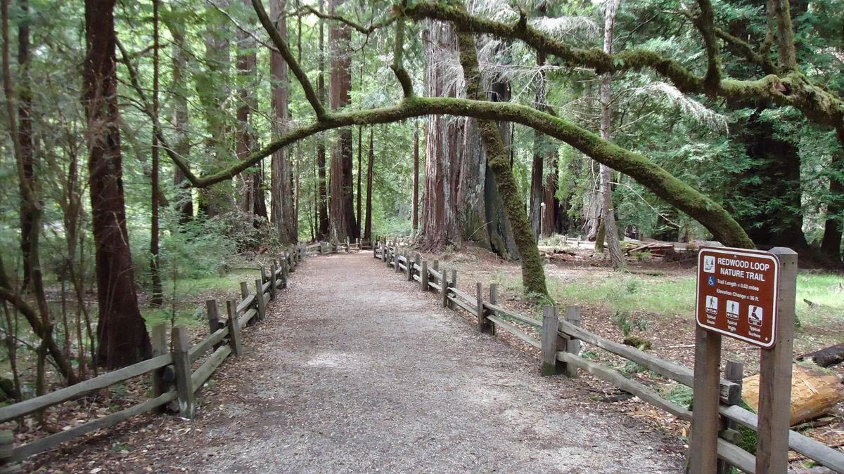
- The Redwood Loop Trail circles the old-growth grove (0.6 mile).
- The Skyline to the Sea Connector Trail leads to the Dool Trail, Gazos Creek Road and North Escape Road, which form the short and moderate loops.
- Middle Ridge Road climbs to the Ocean View overlook.
- The Sequoia Trail and Skyline to the Sea Trail make the loop to Sempervirens Falls.
- Gazos Creek, Johansen and Middle Ridge roads make the long fire-road loop.
The Skyline to the Sea Trail also comes in from Castle Rock State Park to the day-use area.
Closed on the Map
- All trails to Berry Creek Falls
- All trails in the West Waddell Creek State Wilderness
- All Big Basin trail camps and campgrounds
Who Can Use What
- Hikers: open trails and fire roads
- Bikes: fire roads only, never trails; North Escape Road is paved
- Horses: fire roads only, never trails
- Dogs: paved areas only, on a 6-foot leash
Rancho del Oso Has Its Own Trails
The coastal Rancho del Oso unit is not connected to the main park by any open road or trail. Its short Marsh Trail (0.4 mile) and Hoover Trail (0.7 mile) start near Highway 1. See its page for directions.
For lengths, times and climbs of each route, see hiking at Big Basin.
Trail Map FAQ
Where can I get a Big Basin trail map?
Download the park infosheet PDF from the official California State Parks Big Basin page, or pick up a free paper map at the entrance kiosk. Download it at home; there is no cell service in the park.
Which trails are open at Big Basin?
More than 20 miles, including the Redwood Loop, Opal Creek and Dool loops, Ocean View Summit, Mount McAbee Overlook, the Sequoia Trail to Sempervirens Falls and the Gazos Creek Road fire-road loop. Berry Creek Falls trails are closed.
Is there cell service at Big Basin?
No. California State Parks reports no cell service near the entrance kiosk and no electricity in the park, with limited Wi-Fi.