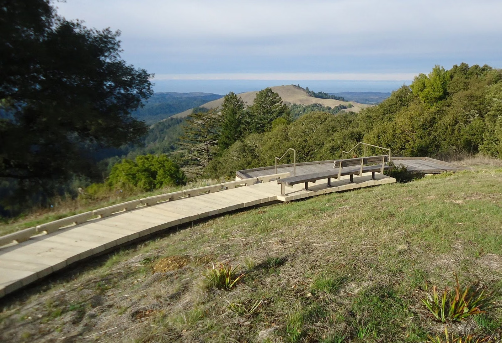
Skyline to the Sea Trail
The Skyline to the Sea Trail is only partly open in 2026. California State Parks says it is open for hiking from Castle Rock State Park down to Big Basin's main day-use area, but the section from there toward the ocean is closed, and so is every trail camp in Big Basin. At the coast, the trail is closed at a gate 0.4 miles past the Highway 1 entrance at Rancho del Oso. The classic ridge-to-ocean backpacking trip is not possible right now.
Skyline to the Sea at a Glance
Where the Trail Runs
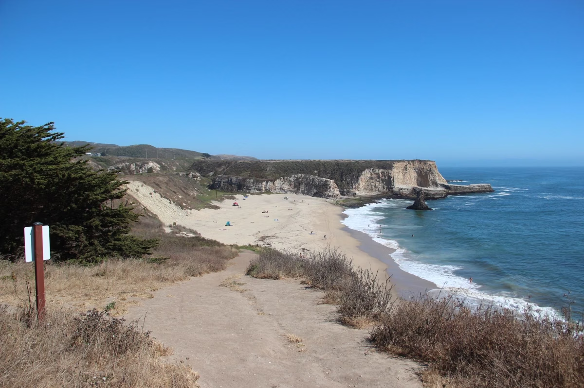
The Skyline to the Sea Trail links the crest of the Santa Cruz Mountains with the Pacific. California State Parks credits the Sempervirens Fund with creating it together with the agency in the 1970s and '80s, part of a trail system that connects Big Basin Redwoods with Castle Rock, Portola Redwoods and Butano state parks. Its coastal end is at Rancho del Oso, across Highway 1 from Waddell Beach.
What Is Open
- Castle Rock State Park to the Big Basin day-use area: open for hiking.
- Near the Big Basin day-use area: 1.4 miles of the trail form part of the reopened 4.3-mile loop to Sempervirens Falls. The short Skyline to the Sea Connector Trail also starts most of the park's recommended loops from the parking lot.
- At Rancho del Oso: the first 0.4 miles from the Highway 1 entrance, an easy walk past the marsh to the Welcome Center and walk-in campground.
What Is Closed
- The trail beyond the Big Basin day-use area toward the coast, including all routes to Berry Creek Falls and in the West Waddell Creek Wilderness
- The trail north from Rancho del Oso past the gate; State Parks says that access is not expected to be restored for several years
- All backcountry trail camps in Big Basin
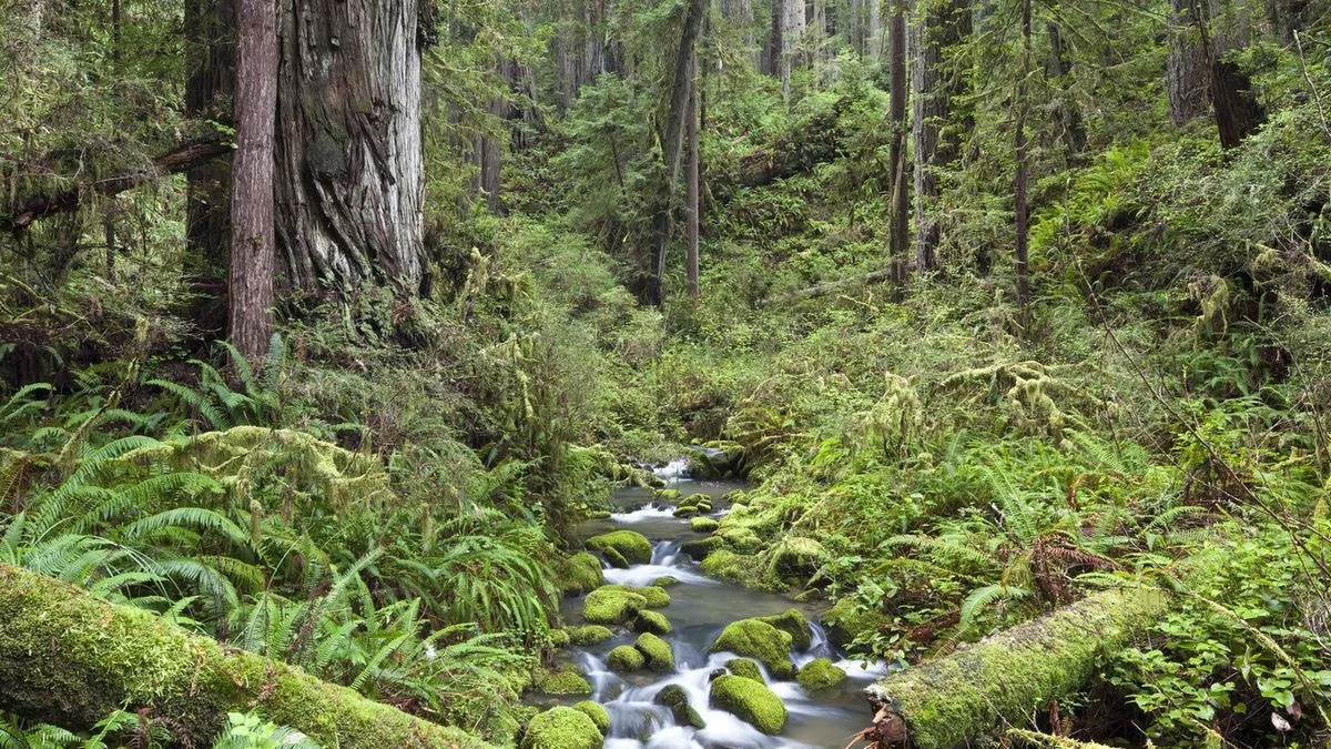
Backpacking
The Santa Cruz Mountains trail camps that are open in 2026 are in Butano, Castle Rock and Portola Redwoods state parks, not Big Basin. A one-way hike from Castle Rock to the Big Basin day-use area is possible as a day hike, but plan your pickup: there is no cell service at Big Basin, and California State Parks warns that ride-shares often will not come back for you. Big Basin parking is guaranteed only with a reservation. All trails close at sunset.
Planning Notes
- Carry a paper map; free park maps are at the entrance kiosk.
- Expect downed trees; turn back if you cannot cross safely.
- Bring all your water. Big Basin has no drinking water.
- Dogs, bikes and horses are not allowed on Big Basin's trails. Bikes and horses may use fire roads.
See the trail map for open routes and parking for reservations and the summer shuttle.
Skyline to the Sea Trail FAQ
Is the Skyline to the Sea Trail open?
Partly. It is open from Castle Rock State Park to the Big Basin main day-use area. The section from there to the ocean is closed after the 2020 CZU fire, and at the coast the trail is closed 0.4 miles past Highway 1.
Can you backpack the Skyline to the Sea Trail in 2026?
Not end to end. All trail camps in Big Basin are closed, and the route to the coast is closed. Open trail camps in the area are in Butano, Castle Rock and Portola Redwoods state parks.
Where does the Skyline to the Sea Trail start?
Its inland end is at Castle Rock State Park on the crest of the Santa Cruz Mountains; its coastal end is at Rancho del Oso, across Highway 1 from Waddell Beach.
Who built the Skyline to the Sea Trail?
California State Parks and the Sempervirens Fund created it in the 1970s and 1980s.