Hiking
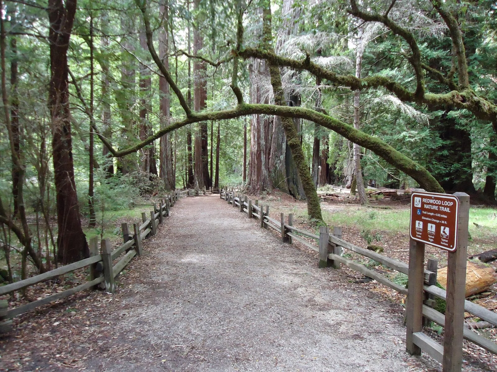
Big Basin Redwoods State Park has more than 20 miles of restored trails open in 2026, down from over 100 miles of trails and roads before the 2020 fire. The easiest hike is the flat 0.6-mile Redwood Loop past the Mother and Father of the Forest. The best half-day hikes are the 4.3-mile Sequoia Trail loop to Sempervirens Falls and the Ocean View Summit Loop, and the longest is the 12.25-mile Gazos Creek Road Loop. Almost every route starts at the main parking lot.
Hiking at a Glance
Easy Hikes
Redwood Loop Trail
- Length: 0.6 mile loop, level, 45 minutes to 1 hour
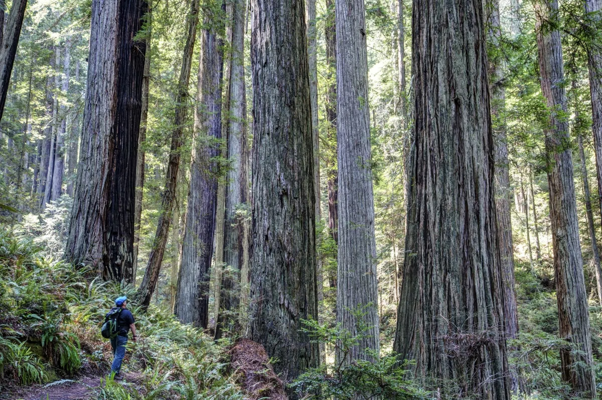
- See: some of the tallest trees in the park, including the Mother and Father of the Forest
- Start: parking lot, former headquarters area
The essential first walk. Details on the Redwood Loop Trail page.
Opal Creek Loop
- Length: about 0.5 mile, level, 45 minutes to 1 hour
- Route: Skyline to the Sea Connector Trail to Gazos Creek Road, across the bridge to North Escape Road, back to the lot
- See: Opal Creek and old-growth redwoods
North Escape Road
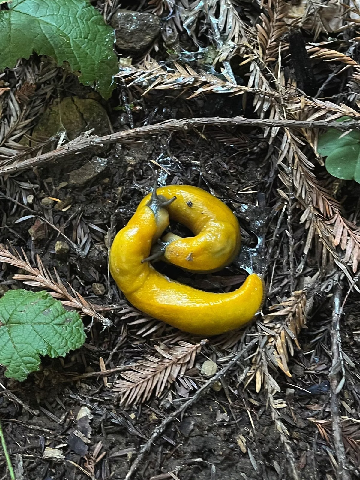
The 2026 infosheet suggests the paved North Escape Road, a park road closed to cars, for an hour's walk or a short bike ride of 1.5 miles one way. It is also where you can walk a leashed dog. Look for banana slugs.
Moderate Hikes
Dool Trail Loop
- Length: 1.75 miles, about 140 feet of climbing, 1.5 hours
- Route: Skyline to the Sea Connector, Dool Trail, Gazos Creek Road, North Escape Road
- See: old-growth trees and recovering forest
Sequoia Trail Loop to Sempervirens Falls
- Length: 4.3 miles (2.9 on the Sequoia Trail plus 1.4 on Skyline to the Sea)
- See: the 20-foot Sempervirens Falls, reopened May 22, 2026
Ocean View Summit Loop
- Length: 4.15 miles (the infosheet rounds it to 4.2), about 500 feet of climbing, 3 to 4 hours
- Route: Skyline to the Sea Connector, Dool Trail, Middle Ridge Road up to the Ocean View overlook, then down Middle Ridge Road to Gazos Creek Road and North Escape Road
- See: ridge-top hiking and a view of the ocean
Dool, Middle Ridge and Meteor Trail Loop
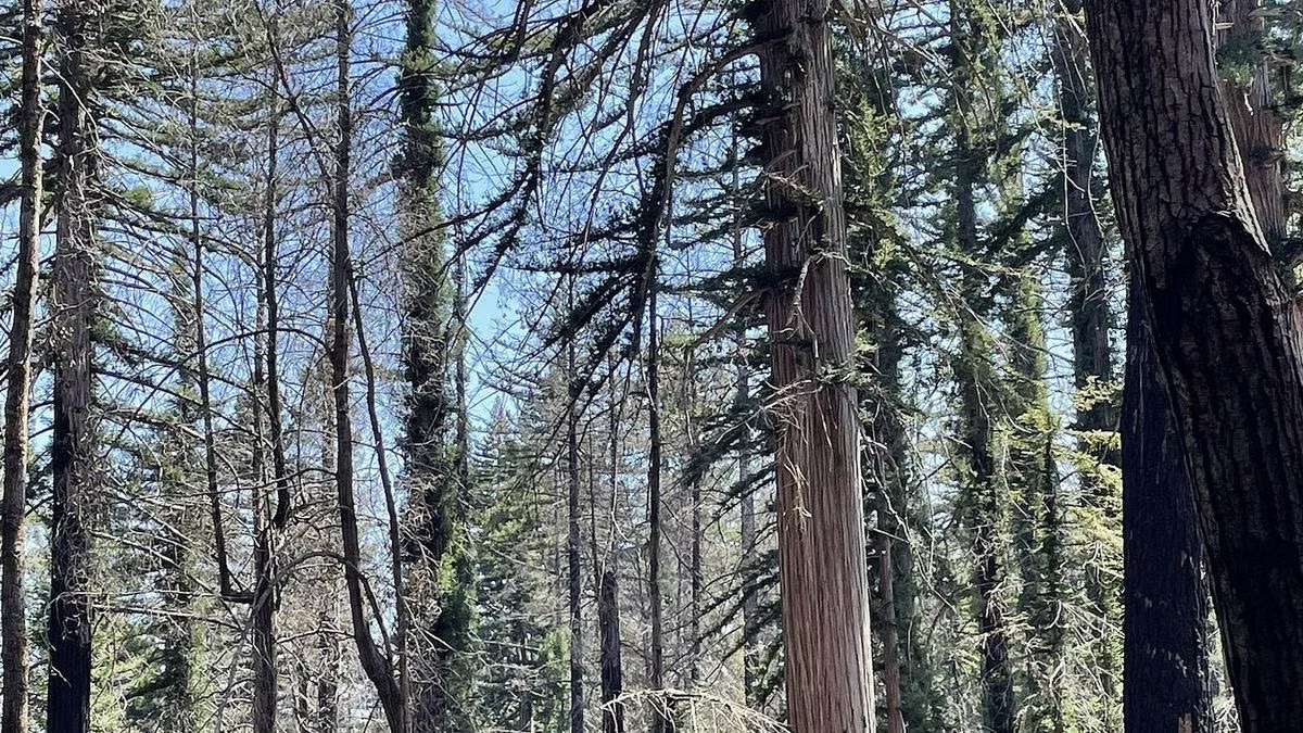
The infosheet lists this loop at 5.5 miles total, a good half-day choice through the recovering forest.
Mount McAbee Overlook
5.7 miles total, per the infosheet. Mount McAbee is one of the peaks California State Parks says the Ben Lomond Fault uplift created.
Strenuous Hike
Gazos Creek Road Loop
- Length: 12.25 miles, about 700 feet of climbing, 6 to 8 hours
- Route: Gazos Creek Road, Johansen Road, Middle Ridge Road, Dool Trail and the Skyline to the Sea Connector
- See: old-growth trees, recovering forest and wide views
The infosheet describes a similar 12-mile fire-road loop by way of Sandy Point, open to hikers, cyclists and riders. Trails in the West Waddell Creek Wilderness are closed, so check your route at the entrance kiosk before a long loop.
Closed Trails
All trails to Berry Creek Falls and in the West Waddell Creek Wilderness are closed, as are Big Basin's trail camps. The Skyline to the Sea Trail is open only from Castle Rock State Park to the day-use area.
Hiking Safely After the Fire
California State Parks asks every hiker to:
- Check at the entrance kiosk that your route is safe and passable
- Finish before sunset, when all trails close
- Carry a map and water, plus warm clothes and a flashlight
- Expect downed trees, and turn back when in doubt
There is no drinking water in the park, and the infosheet warns that hot days can pass 100°F. Bikes and horses are allowed on fire roads only; dogs are not allowed on trails. Free maps are at the kiosk, and the trail map page shows what is open.
Hiking FAQ
What is the best hike at Big Basin?
For a first visit, the flat 0.6-mile Redwood Loop. For a half day, the 4.3-mile Sequoia Trail loop to Sempervirens Falls or the Ocean View Summit Loop, about 4.2 miles with roughly 500 feet of climbing.
What is the easiest hike at Big Basin?
The Redwood Loop Trail: 0.6 mile, level, 45 minutes to an hour from the main parking lot. The level Opal Creek Loop, about half a mile, is another easy option.
How many miles of trails are open at Big Basin?
More than 20 miles had been restored by May 2026, according to California State Parks. Before the 2020 fire the park had over 100 miles of trails and roads.
Can you hike Big Basin without a parking reservation?
Yes. Hikers arriving on foot, by bike or by bus need no reservation, and drive-up parking is $10 if spaces remain. Only a reservation guarantees a space.
Can you mountain bike at Big Basin?
On fire roads only, never on trails. California State Parks names Gazos Creek Road and Chalks Road as rewarding routes, and the paved North Escape Road is an easy ride.